
Tulsa TODAY…Mostly sunny with a slight chance of showers and thunderstorms. Highs in the upper 90s. North winds around 5 mph, becoming east this afternoon. Chance of rain 20 percent. Heat index values up to 111. -William


Tulsa TODAY…Mostly sunny with a slight chance of showers and thunderstorms. Highs in the upper 90s. North winds around 5 mph, becoming east this afternoon. Chance of rain 20 percent. Heat index values up to 111. -William
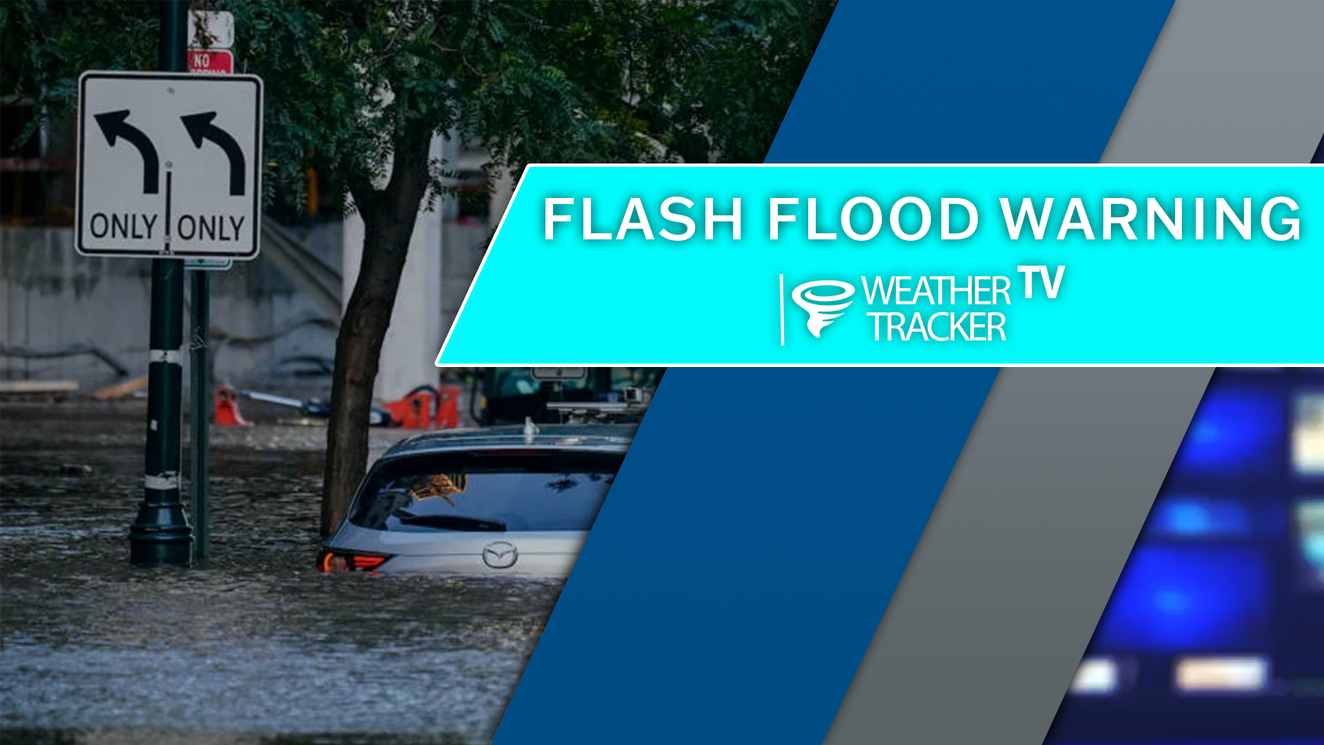
From William Cole: A Flash Flood Warning has been issued in the Weather Tracker TV Tulsa coverage area for Osage & Washington Counties in Oklahoma until 9:15 AM.
At 610 AM , Live Radar indicated T-Storms producing heavy rain across the warned area. Between 1 and 3 inches of rain have fallen. Flash flooding is ongoing or expected to begin shortly.
Remember if you see water across a roadway do not drive through it. Turn Around Don’t Drown.
Stay with William Cole and Weather Tracker TV Oklahoma for continuing coverage, online, on our app and on TV. Let’s stay safe together.


From William Cole: STRONG T-StormS WILL IMPACT NORTHEASTERN OSAGE WASHINGTON AND NORTHWESTERN NOWATA COUNTIES THROUGH 615 AM
At 537 AM , Live Radar indicated strong T-Storms along a line extending from 2 miles southeast of Copan to 3 miles north of Avant. These storms were nearly stationary.
Wind Gusts Up To 50 Mph And Penny Size Hail. Gusty Winds Could Knock Down Small Tree Limbs And Blow Around Unsecured Objects. Minor Hail Damage To Vegetation Is Possible.
Stay with William Cole and Weather Tracker TV Oklahoma for continuing coverage, online, on our app and on TV. Let’s stay safe together.
From William Cole: STRONG T-StormS WILL IMPACT EAST CENTRAL OSAGE AND CENTRAL WASHINGTON COUNTIES THROUGH 545 AM
At 503 AM , Live Radar indicated strong T-Storms along a line extending from 4 miles southeast of Bartlesville to 2 miles west of Ochelata. Movement was northwest at 5 mph.
Wind Gusts Up To 40 Mph And Penny Size Hail. Gusty Winds Could Knock Down Small Tree Limbs And Blow Around Unsecured Objects. Minor Hail Damage To Vegetation Is Possible.
Stay with William Cole and Weather Tracker TV Oklahoma for continuing coverage, online, on our app and on TV. Let’s stay safe together.
From William Cole: STRONG T-StormS WILL IMPACT CENTRAL WASHINGTON AND SOUTHWESTERN NOWATA COUNTIES THROUGH 500 AM
At 425 AM , Live Radar indicated strong T-Storms along a line extending from 4 miles east of Dewey to 5 miles west of Nowata to near Ramona. Movement was southeast at 5 mph.
Wind Gusts Up To 40 Mph And Penny Size Hail. Gusty Winds Could Knock Down Small Tree Limbs And Blow Around Unsecured Objects. Minor Hail Damage To Vegetation Is Possible.
Stay with William Cole and Weather Tracker TV Oklahoma for continuing coverage, online, on our app and on TV. Let’s stay safe together.

Here’s a look at Local Radar and Current Temperatures across Green Country.
Tulsa the rest of tonight: Mostly clear. Lows in the upper 70s. South winds around 5 mph.

Here’s a look at our Monday late evening planner for the Tulsa Metro.

Here is a look at Actual Highs from around Green Country today.

Actual Highs from around the Tulsa Metro today.

Today’s complete Tulsa Almanac.


From William Cole: A T-Storm Warning continues for for Noble County in Oklahoma until 6:00 PM.
At 537 PM , severe T-Storms were located along a line extending from 6 miles northeast of Nash to 3 miles northeast of Garber, moving west at 15 mph.
Primary Threats: 70 Mph Wind Gusts And Penny Size Hail.
Stay with William Cole and Weather Tracker TV Oklahoma for continuing coverage, online, on our app and on TV. Let’s stay safe together.
